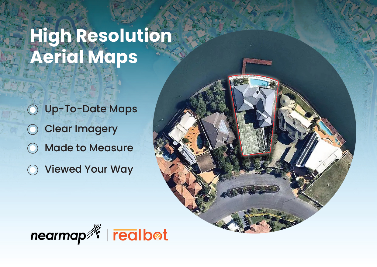
Bring reality to your listings with high-resolution, up-to-date aerial imagery. Navigate your Property with Aerial Insights. Naturally, this type of clarity and detection of fine features translates easily to the showcasing of listings. Potential customers can see properties at their very best before they even schedule an open house with accurate aerial views that are more precise than free satellite imaging maps they might look up on their own.
Location intelligence technology can also power accurate, detailed measurements to important landmarks such as nearby schools, transit stations, grocery stores, hospitals and more—allowing potential buyers to learn about the neighbourhood without having to drive around an unfamiliar area.
By leveraging historical data, sellers can showcase how seasonal differences affect the property and its surroundings. They can also track urban growth and point out high-growth areas—key findings for buyers, who all want their property value to increase over time.
And like with managers of existing assets, sellers can track developments (either to their property or the surrounding area) that affect valuation.
Modern aerial imaging and location intelligence technology offers high-powered insights across the home-building and selling lifecycle. By leveraging these insights, Real Estate businesses can succeed in the current housing market.


